You need to enable JavaScript to run this app.
Portal
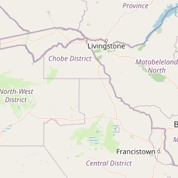
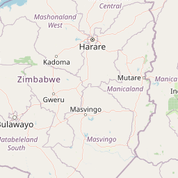
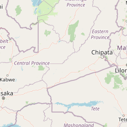
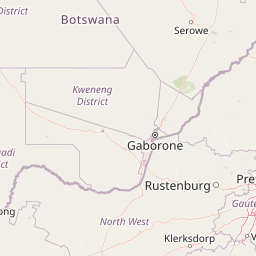
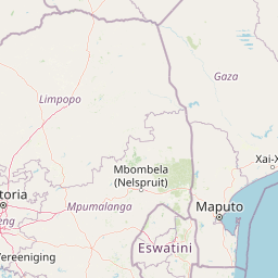
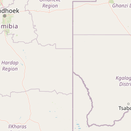
National Cadastral Map
Public GIS Explorer
Public-safe layers — parcel and mineral-right polygons only.
+
−
Leaflet
|
© OpenStreetMap · Cadastre360 demonstration overlay
745 features